From 4th to 8th July 2016 in Paris, UPEMLV hosted a RISIS summer school dedicated to geographical treatments of S&T datasets.
Risis Geo Program
We have observed that most S&T datasets have limited geographical data while we more and more discuss these aspects with open debates about the world becoming ‘flatter’ or on the contrary witnessing strong agglomeration phenomena. Using addresses enables to build geographical variables and study other effects such as the role of proximities, the existence and identification of clusters, and how locations are embedded in multiscale geographical networks. One important aspect is to develop visualisations that help grasping more easily complex analyses and discuss the relevance of established boundaries and classifications of spaces (such as OECD Functional Urban Areas).
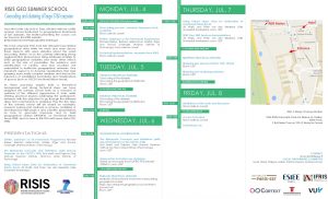
As these processes require both a theoretical background and strong technical steps, we have designed this summer school both as a moment of synthesis of the different approaches & tools, while offering practical sessions addressing the participants’ datasets, with the objective to go through the different steps, from enrichments to mapping. Thus the five days of the summer school has been based on examples, research outputs and methods or services, mobilized or developed by RISIS project, and scientific presentations on how to geocode toponyms and to build geographical clusters (UPEMLV), on Functional Urban Areas (SNI), and on how to link FUA with open data (VU, SMS).